Precision flight intelligence for every hectare.
AgroExplorer blends autonomous aerial robotics with deep agronomic analytics. Survey, diagnose, and treat fields in a single mission while your agronomy team sees actionable maps minutes after landing.
Mission Node: MX-41
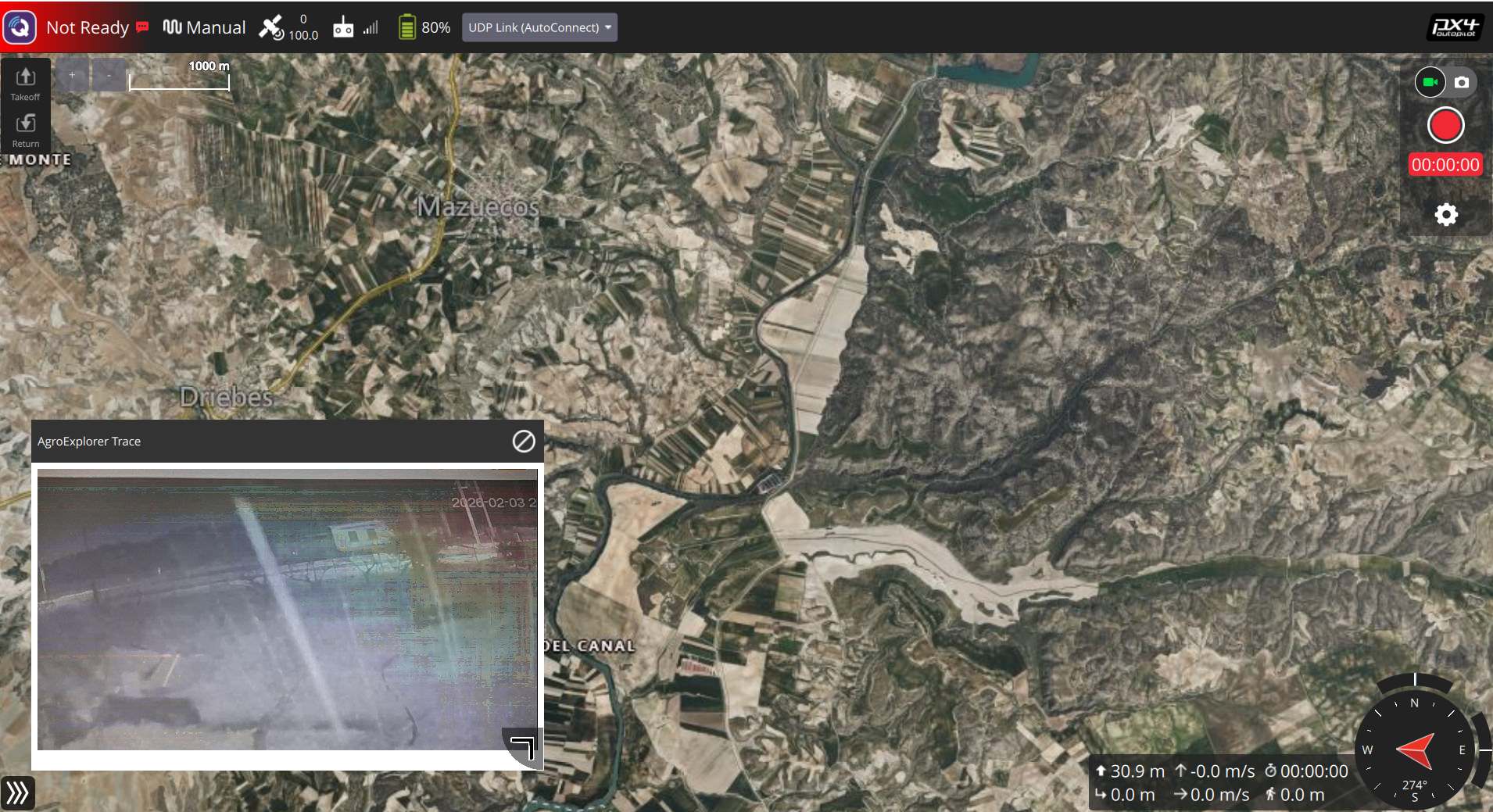 Trace preview · Auto-tagged mission path
Integrated Mission Stack
Every AgroExplorer mission is orchestrated by a layered intelligence stack designed for agronomy-first decisions.
Hybrid lift + endurance
Multi-rotor takeoff with fixed-wing efficiency delivers long endurance flights without sacrificing launch flexibility.
Multi-spectrum payloads
Capture RGB, thermal, multispectral, and LiDAR layers in a single flight plan optimized for crop health.
Agronomic inference
Onboard compute tags anomalies in-flight, reducing downstream processing time and accelerating field action.
Performance Snapshot
Designed for complex terrain, large acreage, and compressed treatment windows.
Mission Architecture
Plan, execute, and analyze with a digital cockpit purpose-built for agronomy teams.
| Layer | System | Purpose |
|---|---|---|
| 01 | Autonomous Flight Core | Route optimization + avoidance |
| 02 | Precision Sprayer | Variable rate application |
| 03 | AgroAI Engine | Vegetation stress modeling |
| 04 | Field Cloud | Secure data sync + reports |
payload: multispectral + thermal
terrain model: adaptive
crop index: NDVI + NDRE
treatment zones: 14
risk flags: 2 low, 0 critical
uplink: 98% integrity
timestamp: 09:41:22
Flight Trace Intelligence
Detailed mission trace maps show coverage overlap, altitude stability, and applied treatment lines.
Auto-generated after each mission for compliance and agronomy review.
Deploy within 72 hours.
Our agronomy engineers configure AgroExplorer to your farm geometry, crop profile, and compliance needs.
Start with a 30-day pilot across three representative fields.